Every Development Decision Is a Spatial Decision.
We map zoning, flood zones, coastal overlays, and permit jurisdictions so you can see what a site allows before you commit to a design. Then we carry the project through the agencies that actually approve it.
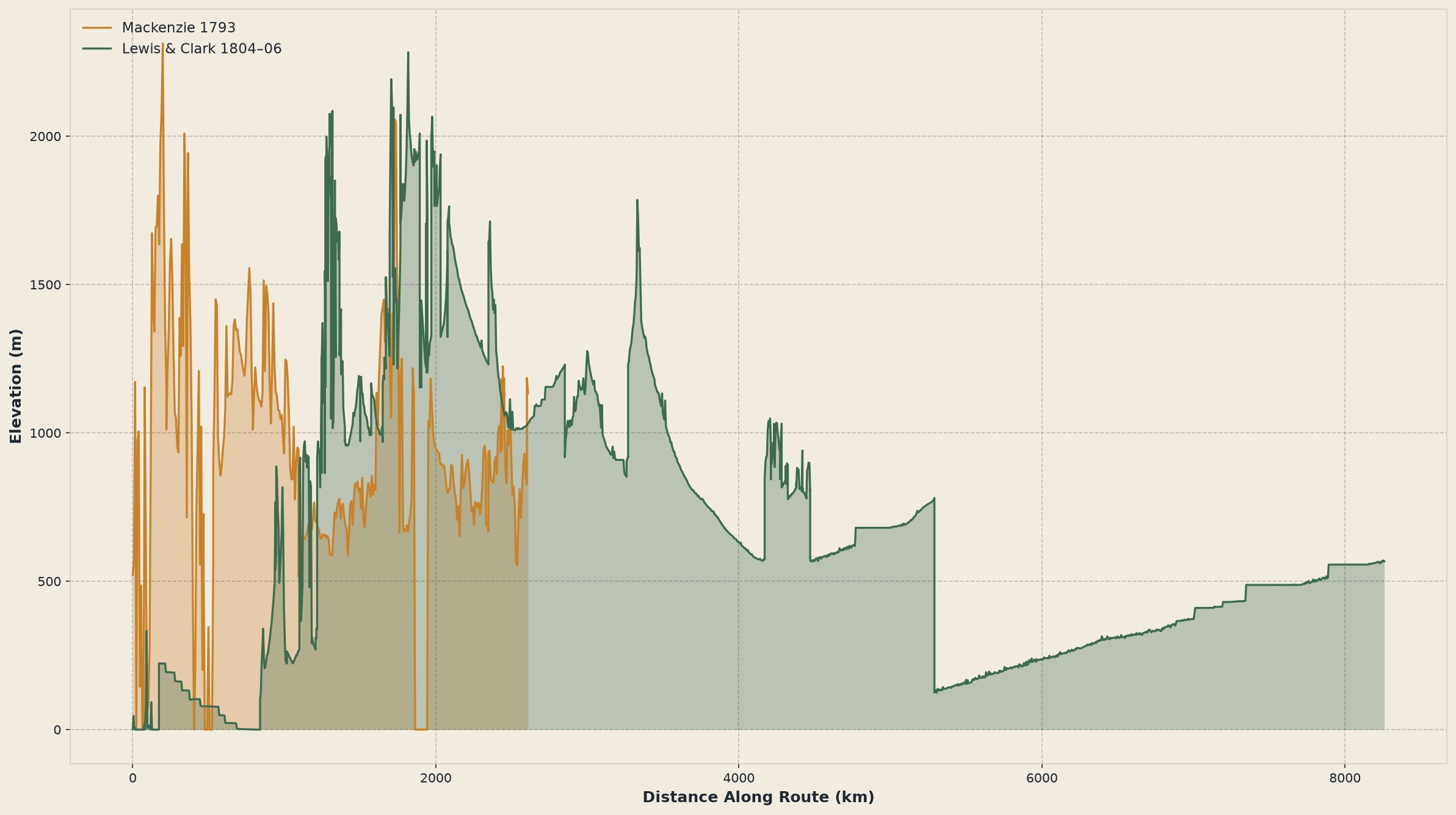
Chart work · Two Routes to the Pacific
5.3%
OR Unemployment, September 2026 issue.
-0.2pp YoY
Sources: BLS · FHFA · Zillow · Read the latest issue →
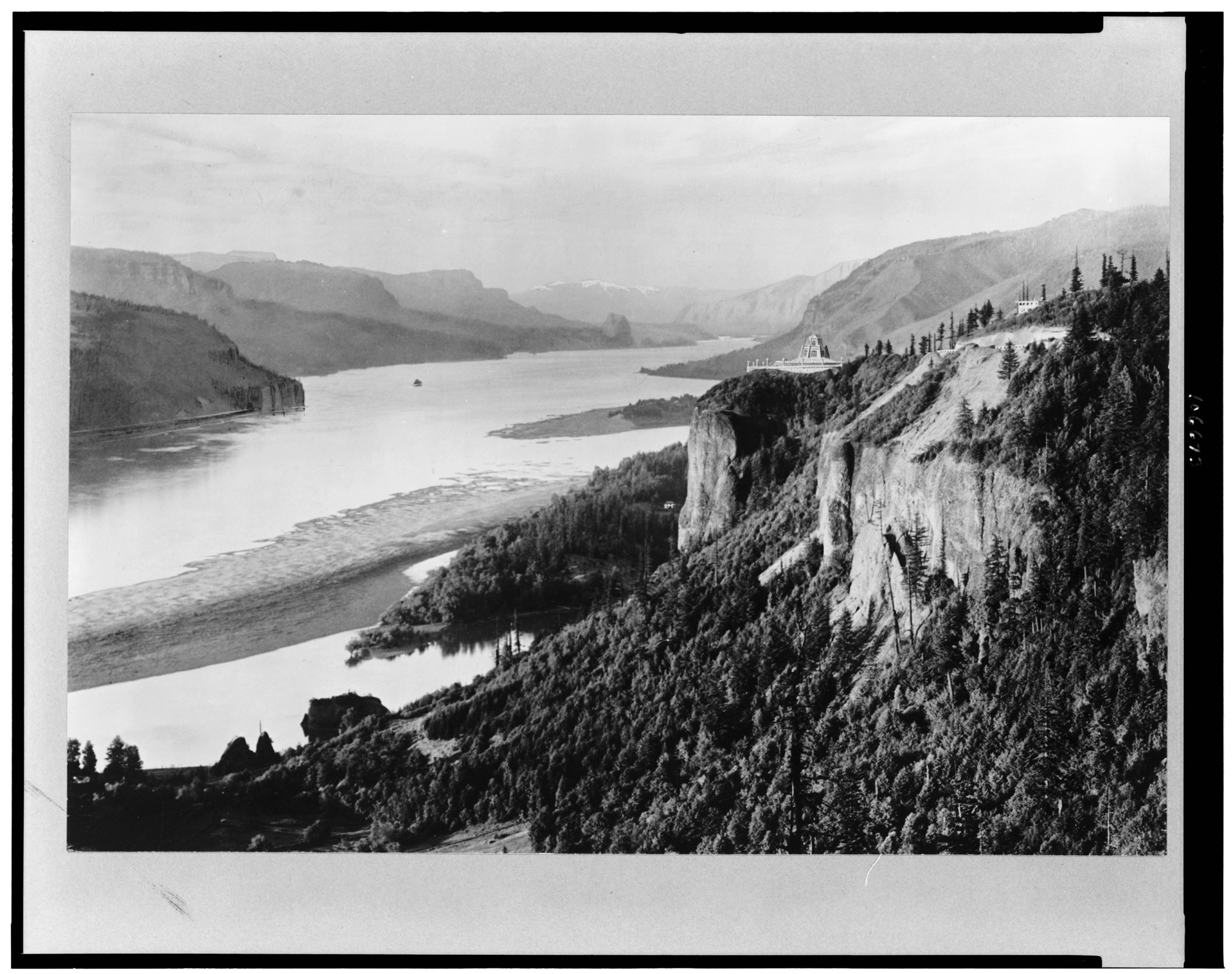
Crown Point, 1916 · this coast has always been read from the headlands
What brought you here?
Buy a cartographic print
Limited-run art drawn from real terrain and coastline — browse the gallery and order direct.
View the gallery Spatial AnalysisHire planning & GIS
Land use, GIS, and permit coordination for public agencies, tribal nations, and private clients.
Explore the work ReportingRead the PNW Atlas
County-level labor market and housing econometrics for Oregon and Washington, and the data gaps the state averages leave behind. Published monthly.
Read the latest issueSix agencies can touch one coastal parcel.
Zoning, FEMA floodplain, tsunami inundation, coastal setback, riparian buffer, permit jurisdiction — they overlap, they conflict, and they surface late. The cost of not knowing is a stalled project, a redesign, or a deal that closes on a site that can’t do what you bought it for.
What sits on one site
- FEMA NFIP flood zone dictates financing & floor elevation
- DOGAMI tsunami inundation shapes what belongs where
- DSL removal-fill permit before work near water
- DLCD Goals 17 & 18 govern shorelands
- USACE Section 10/404 runs in parallel
- County overlays & setbacks finish the picture
Two Routes to the Pacific
Terrain, elevation, and modal comparison as a scrollytelling map.
Open the map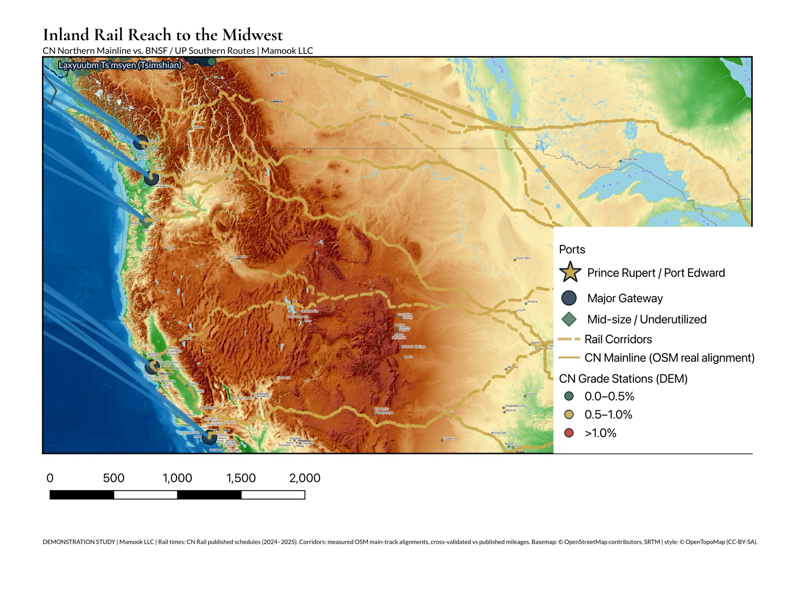
Port Edward & Prince Rupert
Gateway logistics analysis of North America’s deepest natural harbor.
Read the case studyPNW Economic Atlas
BLS, FHFA, and Zillow synthesized into a county-level brief, the 1st of each month.
Read the latest issueOregon DSL Removal-Fill permits · DLCD Statewide Planning Goals 17 & 18 · FEMA NFIP floodplain analysis · U.S. Army Corps Section 10/404 · coastal overlay districts · Clatsop & Tillamook County codes.
The people who need the answer before they commit.
A written analytical memo and an interactive GIS portal — built from authoritative sources, delivered by private URL, hosted for twelve months. Clear scope, clear cost, agreed before we begin.
Know the site first
Real density, setbacks, and overlay limits before you commit to a design — and the full permit sequence you'll have to clear.
Before the offer
What a parcel can actually support — flood zone, Goal 17/18 obligations, coastal overlays — told plainly.
Keep the schedule
Permit coordination across Clatsop and Tillamook County jurisdictions, so agency review doesn't stall the build.
Capacity without the hire
Code reviews, comprehensive plan updates, and middle-housing implementation for small coastal jurisdictions.
Mamook — “to make.”
Chinuk Wawa, the trade language of the Pacific Northwest, now being revitalized by the Confederated Tribes of Grand Ronde. We work on the homelands of the Clatsop, Tillamook, Coos, Siuslaw, and Siletz nations — and we build things meant to last.
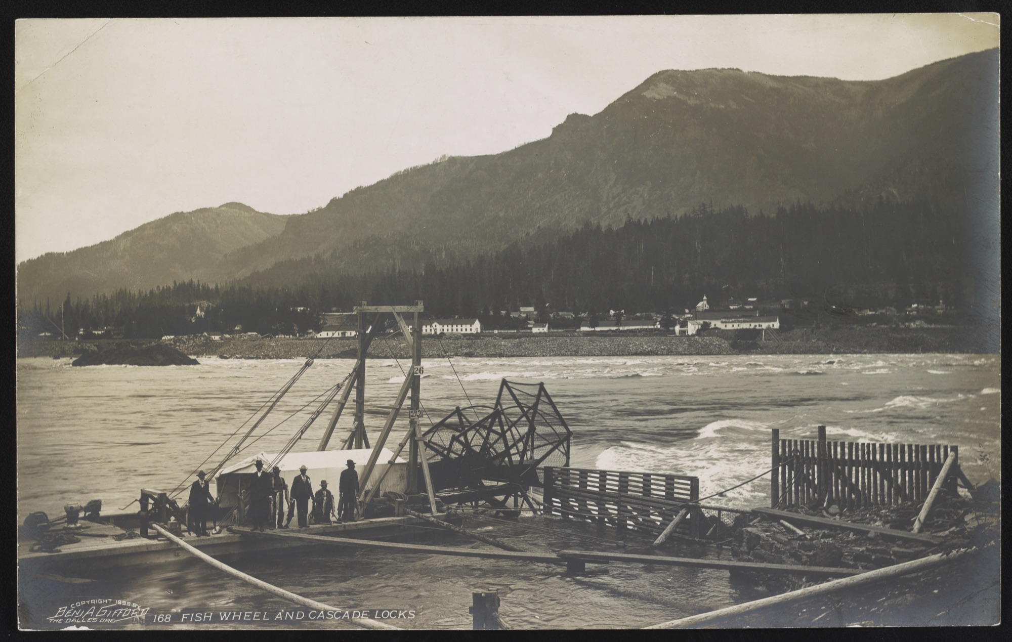
Fish wheel at Cascade Locks, 1899 · working water, working coast
Oregon Coast & PNW
Oregon Coast — Astoria to Florence, daily.
Coast Range — inland watersheds.
Statewide — virtual delivery.
Understand a site’s regulatory capacity before committing to design.
A written analytical memo and an interactive GIS portal. Clear scope, clear cost, agreed before we begin.
Send a site address or tax lot number and what you’re trying to build. We reply within one business day with a written scope.